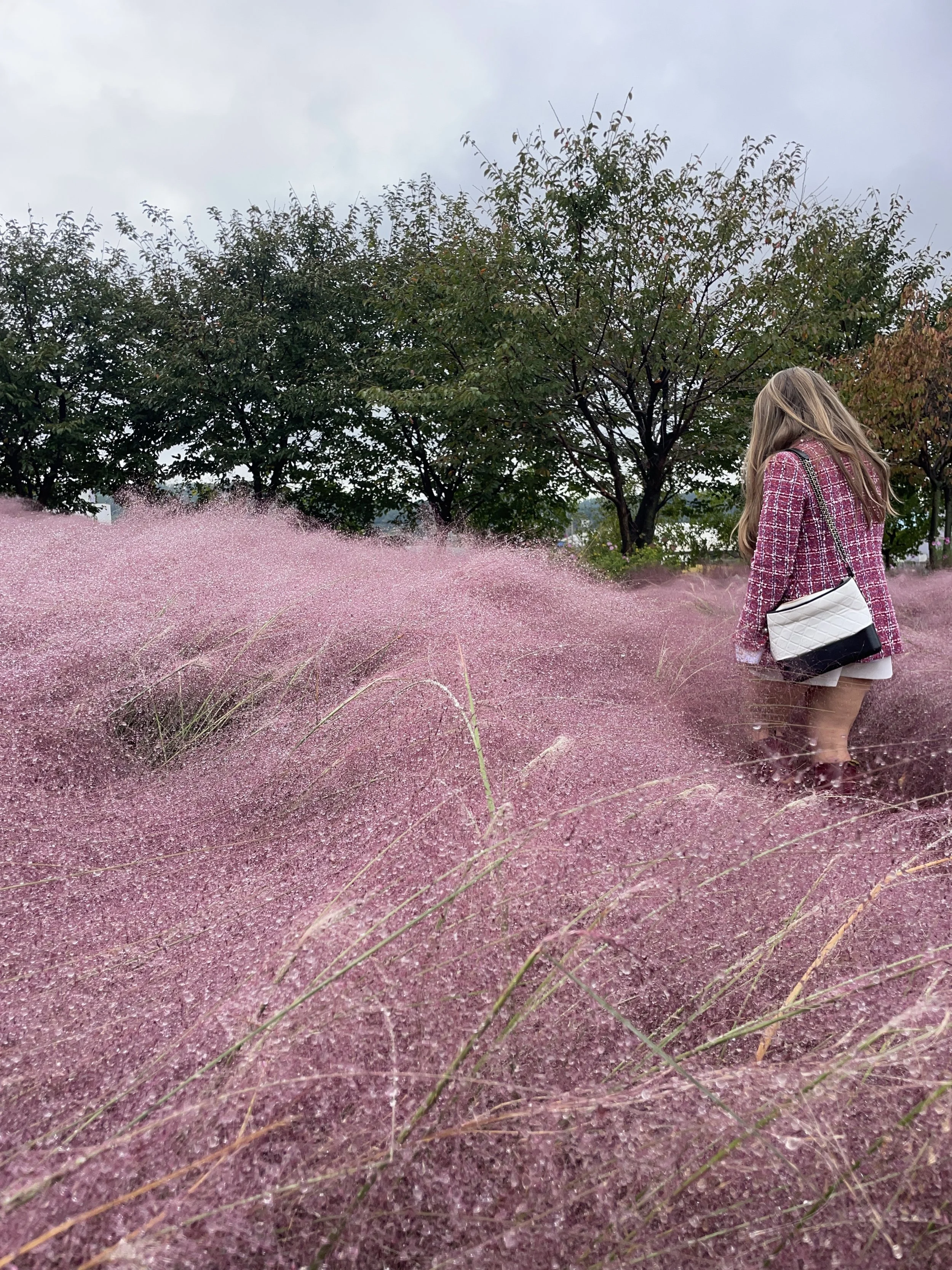
2024 Korea Dulle Trail Expedition (코리아둘레길 걷기원정대)
When I saw the application for the 2024 Korea Walking Expedition, I knew it was something that I wanted to do. This year I’ve been focusing on doing things I like as well as looking for ways to take myself out of my comfort zone. I showed it to Brandon and he told me I should apply and I only barely hesitated. These walking expeditions have been held in the past, but this was the first time they were looking for foreigners living in South Korea and I was so excited when I was one of the foreigners selected to participate!
It's me, I'm that friend!
What is the Korea Dulle Trail?
Eider gifted crossbody bag for the expedition and commemorative bag tag :)
The Korea Dulle Trail is a long-distance trail of 4,500km that spans the entire coastline of South Korea’s peninsula. The trail is divided into four subtrails: Haeparang Trail, Namparang Trail, Seoharang Trail, and the DMZ Peace Trail. The Haeparang Trail follows the east coast, the Seoharang Trail follows the west coast, the Namparang Trail connects the Haeparang and Seoharang Trails on the south coast of South Korea. The DMZ Peace Trail connects the Seoharang and Haeparang trails just beneath the border of South and North Korea. The construction of the trails began in 2009. The Haeparang Trail was opened in 2016, the Namparang in 2020 and the Seoharang in 2022. This September the DMZ Peace Trail was completed in September and kicked off the start of our expedition. Click this link to go to Durunubi - the Korea Dulle Trail homepage.
How did I prepare?
I knew this expedition would involve a lot of walking as the Haeparang Trail itself is 750km. I typically try to hike at least once a week, so I upped that to twice a week. I also started biking to the start of my hikes and going on longer, more frequent bike rides so my body wouldn’t get used to the repetition.
The hardest part of preparing, for me, was packing for a trip like this. On my day hikes I usually wear an oversized fanny pack that can hold snacks, money, my phone, and a water bottle but our Captain recommended no crossbody bags. He also mentioned the we’d be spending most of our time hiking on pavement or paved trails so we’d only need trail running shoes. This was great because it meant my favorite pair of tennis shoes that I use to hike would suffice.
After scouring many blogs and pinterest, I made a list of what I’d need and laid out my clothing options by day according to the weather so I would be prepared. Since we would only be walking specific trails and we’d have a bus at our checkpoints, we didn’t need to carry full hiking backpacks with all of our supplies, however I was able to thrift a 25L hiking backpack that I came to love. It was mostly stocked with snacks and first aid supplies throughout the week for me. There’s a blog post coming soon with all I packed so check back for that!
DAY 1
Standing on the decking of the Castle at Hwajinpo
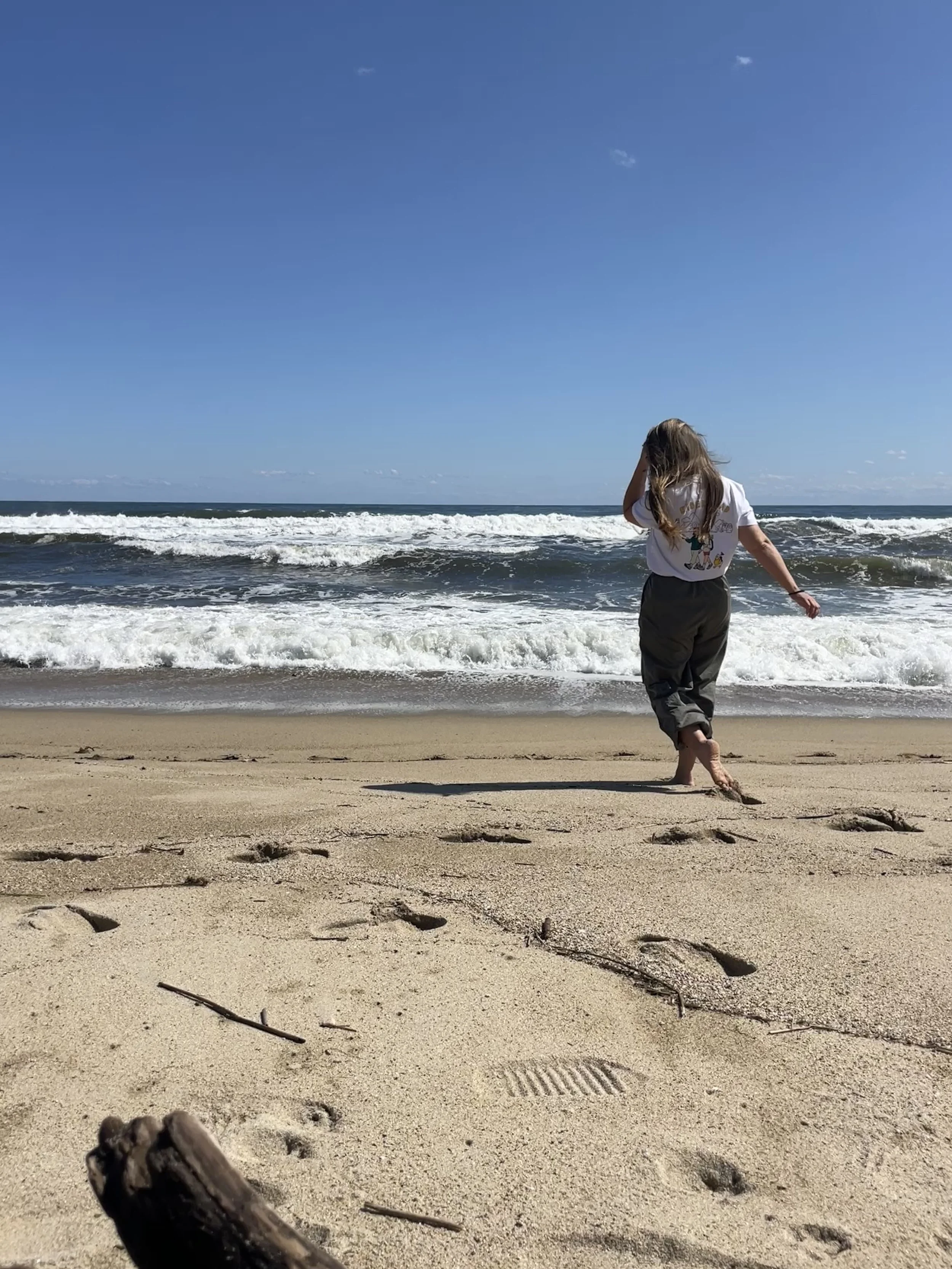
Our group ended up being 17 foreigners from Mongolia, Russia, Thailand, Ethiopia, Brazil, Australia, Kazakhstan, Malaysia, Pakistan, Spain and several of us from The United States. We met at Seoul Station to board the bus with our Korean team for the week. We headed out around 7:30am from Seoul. After a few hours on the road, we had an hour break at Myeongpa Beach before heading to the opening ceremony of the DMZ Peace Trail at the Unification Observatory. Myeongpa Beach is actually located in a military zone so this beach is only open during specific times and there were several helicopter fly overs while we were there.
The opening ceremony included a musical performance as well as an art performance. The artist actually painted a landscape of the DMZ Unification Observatory to the beat of the music. This was very cool to watch and probably my favorite part of the opening ceremony. If you ever get the chance to catch a live performance of hers, I highly recommend watching it! (You can find the artist on instagram @ksycalli.)
We walked part of Course 50 from Goseong Unification Observatory to the Jejin Checkpoint to celebrate the trail’s completion, along with members of local walking clubs and the “Korea Dulle Trail Guardians” who manage the trail. Since we’re inside a military zone no pictures or videos were allowed inside this area. Course 50 is 10.7km long and only part of it will be accessible by foot. You’ll need to ride in a vehicle from the Jejin Check point to the Unification Observatory and museum. Here’s a cool article about the opening day - see if you can spot me in the group photo! This was such a cool experience to be one of the first groups of people, let alone foreigners, to walk this trail with all of these ministry heads. Certainly not an experience I’ll take for granted or ever forget.
After that, we headed off to the Castle at Hwajinpo. From 1948-1950 this was the summer retreat for Kim Ilsung, former leader of North Korea. The building was constructed entirely of stone in 1938 by a German architect for the Sherwood Hall missionary family. It’s now open to the public as an exhibition to showcase how the Kim family lived. The summer hours are 09:00-18:00 and the winter hours are 09:00-17:30. There’s even a photograph on the front stairs showing Kim Jung-il sitting with his cousins in the same area.
The views of the beach from the pine trees is truly magnificent and it’s not hard too see why anyone would want this as a summer villa. This area of Goseong was originally part of North Korea until 1953 when it was incorporated into South Korea after the war.
We ended the day arriving at the Ocean 2 You Resort (오션투유리조트) in Sokcho. This area is full of pensions and convenience stores situated right next to the beach, but there’s not much else.
DAY 2
At Yeongnangho Lake looking over the lake to Seoraksan and Ulsanbaewi Rock
Today we hike course 45 of the Haeparang Dulle Trail which had views of Seoraksan and the Ulsanbaewi Rock formation all day. This trail runs from Jangsahang Port to Stork Sunrise Park, is 17.6km long with an average duration of 6 hours and is considered easy on the Durunubi website.
We started our hike at Jangsahang Port walking the trail surrounding Yeongnangho Lake and it was such a gorgeous clear day, these views were stunning. Along the course we walked Hwangtot Road (황톳길) which is actually a barefoot clay trail. It was slimy, slippery but fun and left your feet feeling exfoliated. What an experience! These barefoot clay trails are popping up all over Korea so if you get the chance to try one out, you should. One tip: if it’s very wet, step into the thicker, waterier parts of the clay because it has a little suction whereas the less dense areas are much more slippery. At the beginning and end of the walking path are cubbies for your shoes and tools to help scrape off the excess clay. There are also feet washing stations with water spigots and brushes to help scrub your feet. Bring a towel or let your feet air dry.
After the clay road we made it to Yeongnangho Beombawi Rock and climbed up for more views of Seoraksan and Yeongnangho Lake. By lunchtime we made it to the nearby Abai Village, which is a small village of North Korean refugees from the war. We had a fish bbq lunch as well as Abai sundae which is stuffed with squid. Korean sundae (pronounced soondae) has no relation to the ice cream - it’s a type of blood sausage made with stuffing cow or pig’s intestines with various ingredients such as meats, rice and vegetables. Think boudin, morcilla or haggis.
After lunch we took the traditional gaetbae, boat without motor, across the waterway to continue our hike through Abai Village. A gaetbae is a barge style boat that is powered by a steel cable and hook system across the floor of the barge that one pulls on to move it from one side of the river to the other. There is no captain and you must do the work yourself! We hiked our way to and around Sokcho Beach before heading to our last activity of the day, a transparent canoe ride at Susan Fishing Port. There are 2 person and 4 person canoes available to ride around the port. Having an activity at the end of the day seemed to revitalize our group and everyone enjoyed this activity!
We ended the day at the Skybay Hotel (스카이베이호텔). It was built by the same company that built Marina Bay Sands in Singapore and they’re visually very similar. If you make it out here, definitely check out the sunrise and sunset from the 20th floor infinity pool deck.
Don’t miss out on the beach boardwalk - it’s beautiful at night with a ton of glowing artwork hidden among the trees and there are so many cafes and restaurants that you’re sure to find something to eat along the way.
DAY 3
Sunrise from the pool deck at the Skybay Hotel - if you look carefully you can just barely tell where the pool ends and the ocean begins
We had a late start to the morning so we were able to walk the beach boardwalk and around Gapyeong Lake before heading to Sogeumgang Village Eco Village (소금강마을) to make authentic tofu. Turns out that making tofu is a fairly simple process and the addition of the saltwater, which is typical in this part of Korea, gives it a little more flavor. From grinding the soy beans to squeezing the soy milk from the tofu to adding the saltwater and watching the tofu form, it was truly a fun experience! Pair it with a flavorful sauce made from sesame oil, toasted sesame seeds, soy sauce, garcic, minced onion and green onions and it makes for a delicious afternoon lunch or snack.
We headed north to Sacheonjin Beach (사천진해수욕잠) to start hiking Course 39. Course 39 is 15.8km, takes about 5 and a half hours and is still considered an easy course. This was mid-week for us and it was the longest straight hike we had done at this point. We spent most of the morning walking next to the beach in the hot sun. Not gonna lie, when I looked up and saw we were coming upon the hotel that we had just slept in, I was a bit frustrated. If you know me in person, you know I don’t like to walk the same path multiple times OR back track. I can say, though, that the course leading south from Skybay Hotel is preferable to the course heading north. It becomes more full of pine trees and art work inside the forest.
With endless views of the Pine Forest Trail, Course 39 is also full of historical sites you can stop at along the way including a memorial hall, relics from the Goryeo period, and a science museum. Several hours later, we ended our hike at Anmok Port Cafe Street which is an excellent stop for coffee lovers and anyone who had sore feet, which was all of us at that point.
We ended the day at Donghae Boyang Hot Springs Convention Hotel (동해보양온천). The hotel sits across a highway from the beach and you can cross over via a bridge. From the bridge, the hotel gives major Colosseum vibes. If you plan on indulging in the hot spring when you arrive, make sure to check the hours. It closed early the night we arrived, however those that went said it was amazing and it was only 7,000₩. The beach area had a nice offering of convenience stores, restaurants and cafes.
DAY 4
We started our morning at Mukho Station in Donghae to hike up the Lighthouse Uphill Road. Along the way to the top is Nongoldam Street, featuring a collection of murals along the walls the show the history of Mukho Port. At the top sits Mukho Lighthouse which is free to enter. Nearby sits Dojjaebigol Sky Valley (도째비골 스카이밸리) which features a skywalk towards the East Sea, a sky cycle and a giant slide. It’s an impressive view from up top, especially on beautiful clear sky days. The highlight for the group was definitely the 30 meter twisting slide - I think everyone could’ve had several more turns! Each attraction has a fee and the giant slide is 100% worth more than the 3,000₩.


Okay but here’s the best part - COURSE 33! To say this trail is my favorite would be an understatement. Course 33 is 13.6km, takes about 4.5 hours and is rated as an easy course. We hiked on rocky beaches, in the pine forest, near trains and towns and every path we traversed was different than the one before it. The trails are old and well established and at times the private beaches felt so intimate that I could imagine myself finding a new favorite each week if I lived nearby. We climbed up and down all day long. When I envisioned this trip, this trail was exactly what I pictured.


We ended our hike at Chuam Beach to see the swinging bridge, Chotdaebawi (Candlestick) Rock, Hyeongjebawi Rock, and Haeamjeong Pavilion. The swinging bridge is not for the faint of heart, although it doesn’t swing too much. Some of the rock formations here create a stone forest and are out of this world. It’s worth a visit! If you’re limited for time but really want to hike this trail, take the train from Chuam Station back to Mukho Station and then hike back for the day.
An hour drive brought us to Doekgu Hot Spring Hotel (덕구온천호텔). This hotel is pretty much in the middle of nowhere but there are a few amenities in the hotel including a restaurant, a CU and Dunkin’ Donuts, a chicken spot on the basement level as well as a hot spring and a little bit of shopping. Other than that, you’ll need to drive for other options. If it’s still there when you visit, check out the robot coffee shop in the basement - I love kitschy little things like this and the drink was actually good.
DAY 5
Day 4 might’ve been my favorite day over all and then Day 5 happened, and the trip just kept getting better. We started the day with a long bus ride down to Course 21 and if I thought yesterday was my favorite, this course gave it a run for its money. Course 21 is part of the Yeongdeok Blue Road, is 12.7km, takes about 5 hours and the difficulty level is average.
We started in a small fishing village at Chuksan Port just in time to see the fishermen and women unloading their catch for the day. Even though we spotted them unloading fish, snow crab is actually the Chuksan’s major claim to fame. We walked to Jukdosan Blue Road Suspension Bridge to cross the river and start our hike from the beach. We walked along the coastline on a wooden platform that was pretty narrow, for the majority of the day.
The Jukdo Mountain Observatory stands nearby the blue road suspension bridge and as we hiked down the coast during the day, we could look back to see just how far we had come. This was one of the few days that we had this kind of landmark to look back on for a visual of just how far we had hiked.


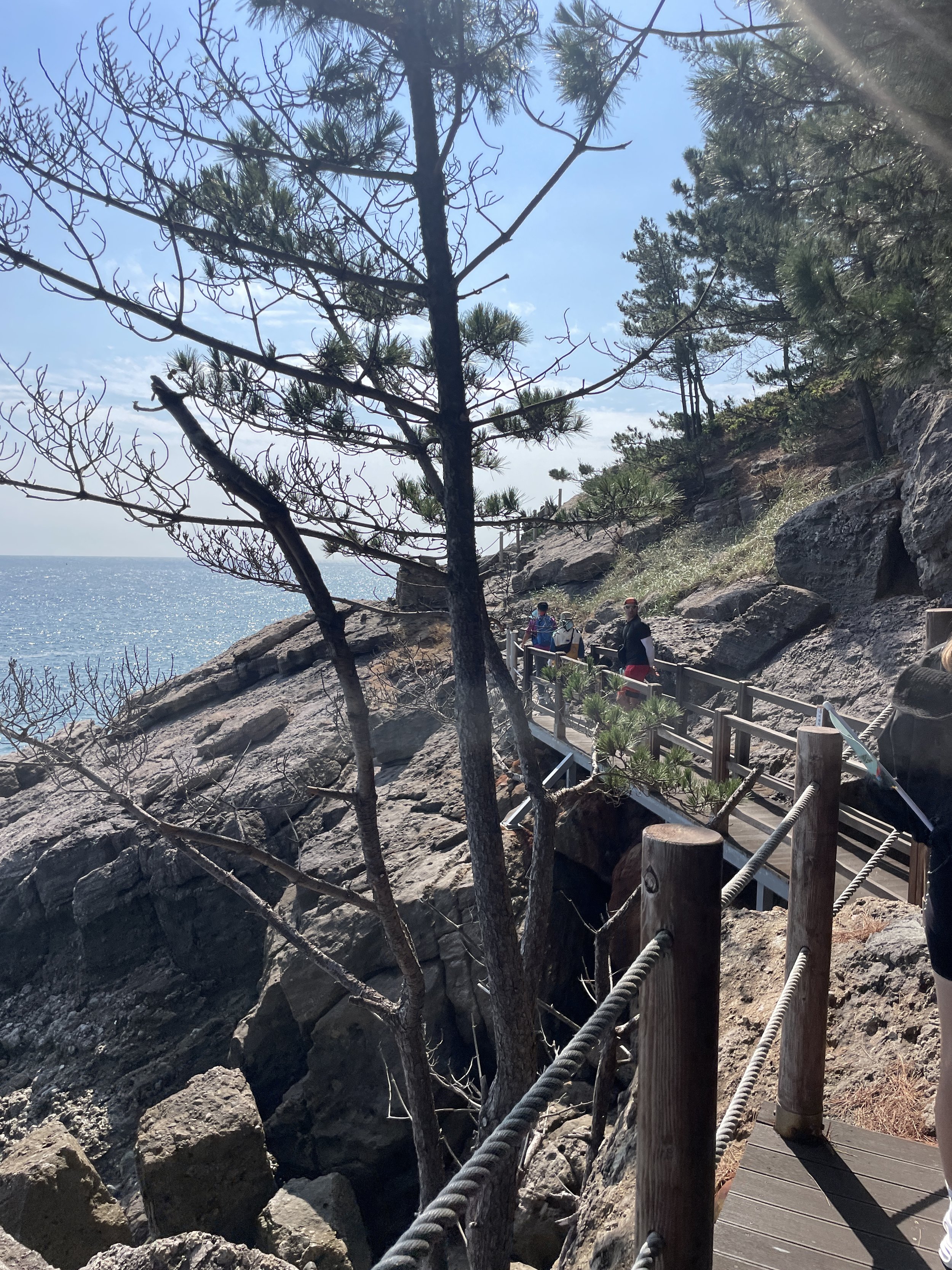

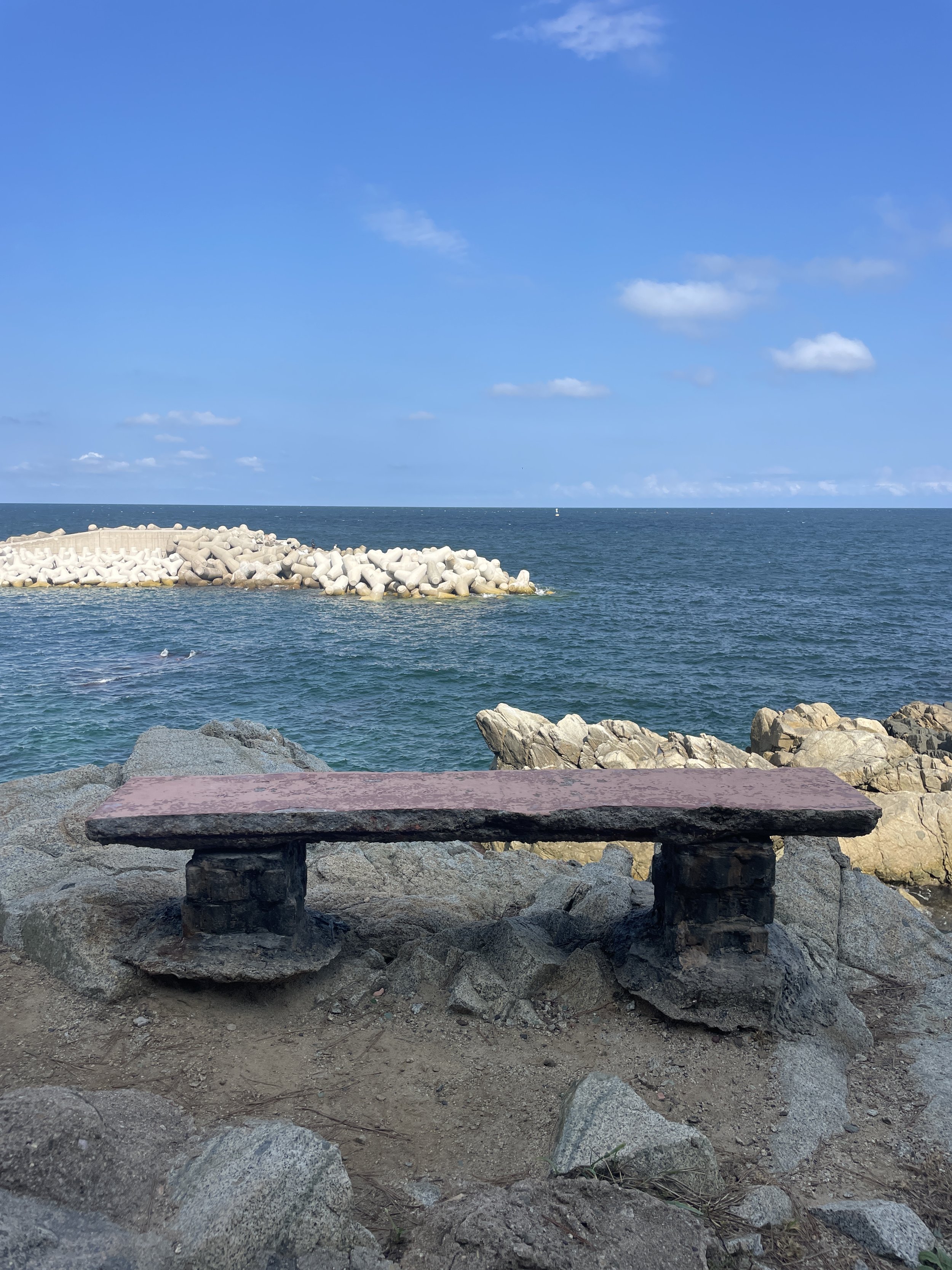


The views on this were unmatched. It was teal water crashing onto rocky cliffs all day and with the quietness of the trail and the serene sounds of the ocean waves, it was a wonderful way to hike. If you’re a BTS fan, this is also the trail for you! There were several markers for BTS music video locations along the way. We stopped for a traditional Korean lunch set up in a family home. Honestly, the best eomuk and potato banchan I’ve ever had in Korea. If you’re ever in this area, keep your eyes peeled for 만기네밥집 across from Obo Beach parking lot. The menu changes daily based on seafood availability.


After our hike, we headed to Jangsa Landing Operation Victory Memorial Hall for a sombering afternoon learning about the Korean War. This operation was meant to distract the North Koreans while South Korea could invade at Incheon. The operation took place from September 15-19, 1950. While successful, it is absolutely heartbreaking to know that the most of the casualties here were middle and high school aged students that gave their lives for their country.
The museum was officially opened in November 2020 inside a replica of the ship Munsan. You can walk around the deck of the ship as well as the inside where there are several rooms set up to showcase the timeline of the Korean War and the importance of the Jangsa Landing Operation. One of the most interesting features was walking on a see through floor - underneath was filled with sand, bullets and other debris as well as name plaques for each life lost here. I’ve never seen a memorial like this one and I’ll never forget it either.
The following day would be the end of our expedition so we took a 2 hour bus ride to Haeundae to stay at the Ramada Encore Hotel (라마다앙코르호텔). The location is convenient, the rooms are well appointed and you’re half a block from Haeundae station.
DAY 6
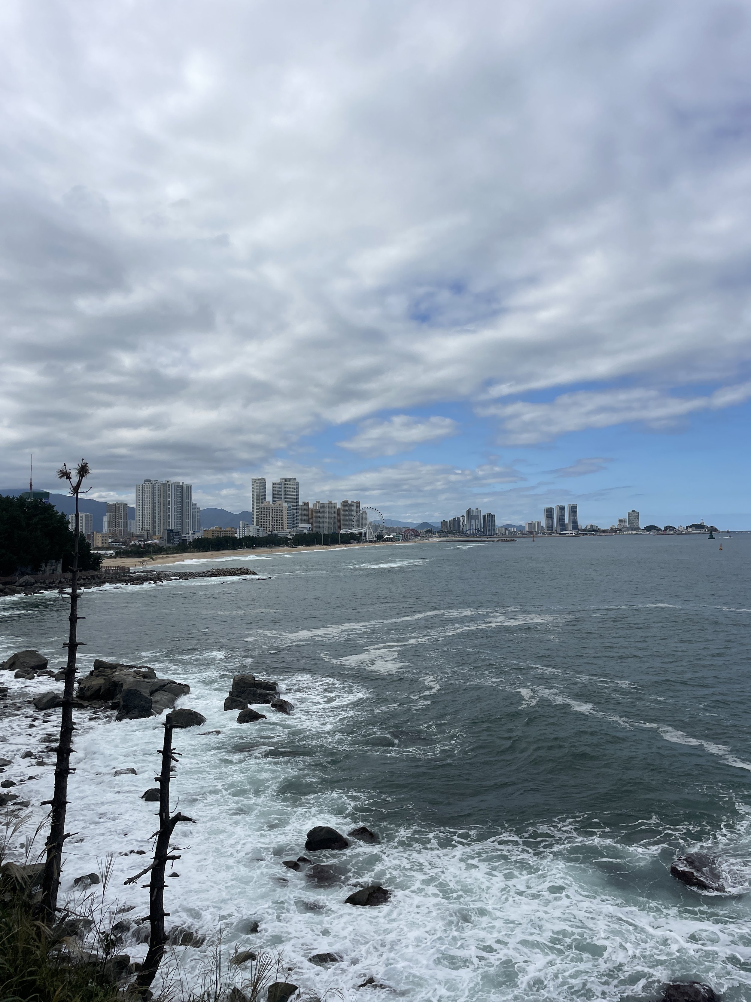
Today we were set to walk Course 1. It is 16.9km, takes about 6.5 hours and the difficulty rating is considered average. This course connects Haeundae Beach to Oryukdo Sun Park, which becomes the starting point of the Namparang Dulle Gil. Like the trails the past two days, we walked wooden platforms and bridges lining the coast with views of the rocky cliffs and the East Sea.
If you’ve never been, Haeundae Beach is the most famous beach in Busan and one of the biggest tourist attractions in South Korea. It makes sense, then, that Course 1 was the busiest trail we hiked this entire expedition. Since we had a visit to the United Nations Memorial Cemetery and a closing ceremony for our expedition, we didn’t hike the entire trail. If you’re looking for more things to do in Busan, check out my post on how to spend one day in Busan that I wrote last year.
After our last Korean lunch, we visited the United Nations Memorial Cemetery in Korea. Interesting fact: this is the only United Nations Cemetery in the entire world! It contains 2,300 graves across the 35 acres and they’re arranged based on the 22 countries that supported the Korean War. During the war, several cemeteries were created around the Korean Peninsula but as the North pushed further and further south, they had to be abandoned. The current location of the UN Memorial Cemetery was created in January 1951 inside the Pusan Perimeter and in December 1955 it was officially established as the United Nations Memorial Cemetery in Korea. Since 2015, veterans of the Korean War have been allowed to be buried here. Additionally, there are 11 unknown graves buried in a separate part of the cemetery and John allowed us to visit these while here.
As our day was quickly coming to a close, we headed inside the Busan Museum for a closing ceremony with the entire expedition. It was an emotional experience and many tears were shed. There was a beautiful video that our photography team put together from our photos and videos and we were each award a certificate and a medal for completing the expedition.
MY THOUGHTS ON THE EXPEDITION
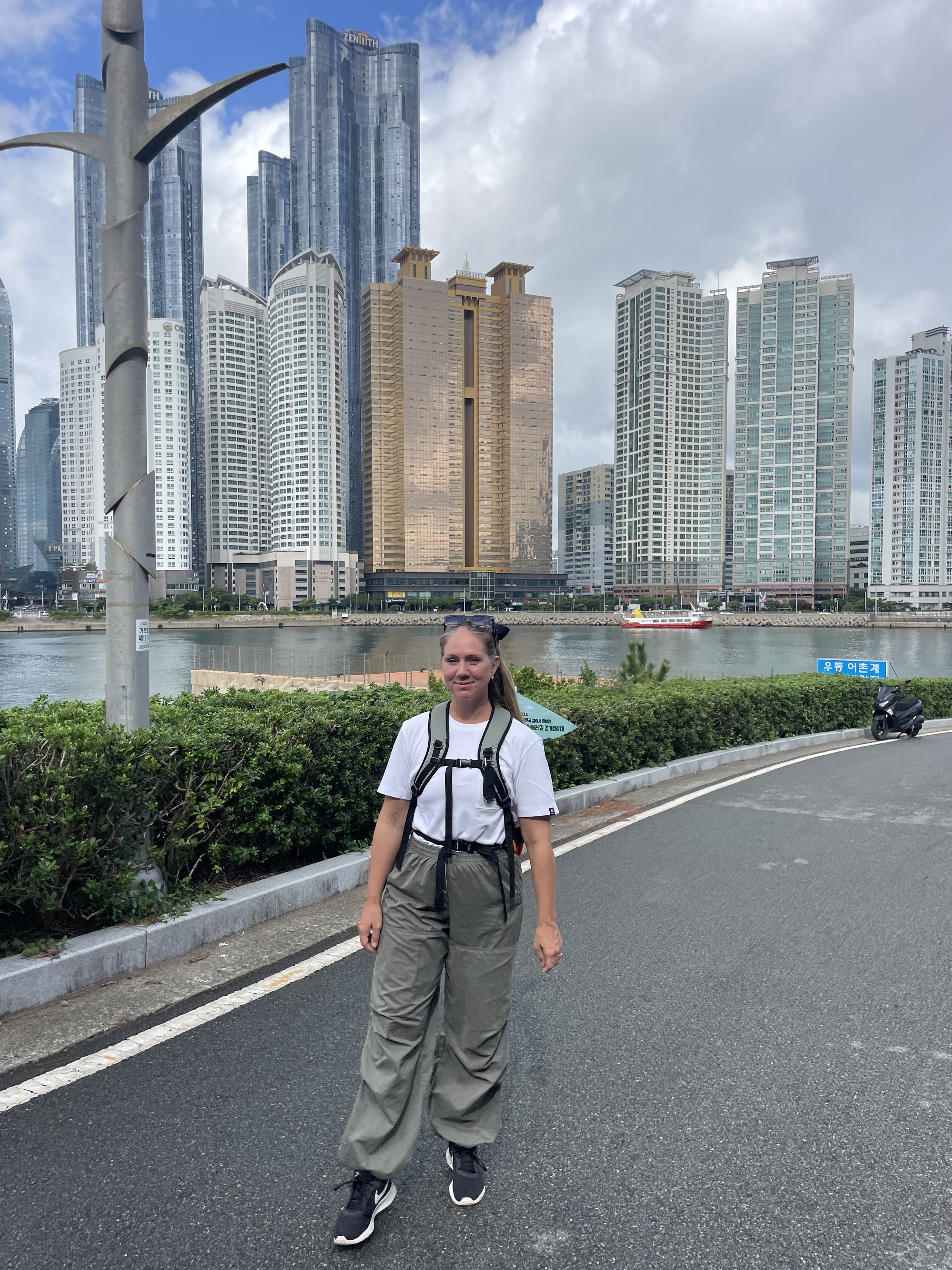
Last day on the expedition hiking around Busan
Going into this expedition I anticipated a TON of walking and that was about it. I’m so honored to have been chosen for this expedition and this opportunity. Not only did it allow to me explore a lot of Korea that I haven’t traveled before, it pushed me out of my comfort zone through group work activities like tofu making. Was that something I would’ve signed up for on my own? Nope. But I did learn a lot and I have a new skill that I could * potentially * put to use.
I also didn’t anticipate learning so much more about the Korean War. Being a military family and having been stationed here in Korea before, I had a basic knowledge of the war and some of the major turning points and key locations of the war, but seeing where the Jangsa Landing Operation took place and seeing our leaders get emotional wasn’t an experience I would’ve gotten through a tour group.
I cannot accurately express just how thankful I am to have been chosen for this expedition. There were so many exciting opportunities like being the first and only civilians to walk Course 50 instead of driving it and being able to attend the opening ceremony for the DMZ Peace Trail. This is definitely a highlight of my year and I am thankful to be able to share my experience.
KTO - thank you for an amazing team of foreigners, a top notch trail Captain and the BEST group of leaders this week. Please invite me back for the next Dulle Trail Expedition!!
THE DURUNUBI APP
Durunubi is available in the App Store and is, essentially, a trail guide for walking the Korea Dulle-gil trails. You can view trail information such as the suggested length of time for walking each trail, the difficulty level and the length of each course. It also includes transportation information such as where the trail head starts or what bus will get you closest to the trail. Lodging information like which hotels or camp grounds are nearby as well as food information such as when an area lacks any conveniences and food and beverage should be packed for the day. The Durunubi app also focus on cultural activities available near the trail like the clear bottom canoe rides we did and our walk through the Abai Village.
You can also start hiking the trail and the app will follow along as you walk HOWEVER the app isn’t foreigner friendly. It only works with Korean phone numbers and FRC card holders - and even though I have both of these, the app wouldn’t allow me to log in to follow me as I hiked so I was only able to see the overview of the course.
It’s still helpful, but there are so many features that I couldn’t access like getting my virtual stamp at each trail head. (Collecting stamps is a fun activity in Korea and occasionally they run promos for collecting stamps.) At the start of each trail you’ll typically find flags color coded for the trail you’re on and a small wooden house that houses a physical stamp AND a QR code that you can scan to open Durunubi. All of the trail information is also available online at www.durunubi.kr and there is an English translation available.
Trail map with two trail houses in front. There's so much information on the sign and each house should hold a trail stamp and a QR code to scan for the Durunubi app.
NOTES FROM MY EXPEDITION MATES
Sunrise from the pool deck at the Skybay Hotel
I asked all my expedition friends for their best tips or anything they’d like to share. Be sure to click their links so you can find their social medias and their reviews of our expedition as well!
“Apply sunscreen on your forehead.” - Eileen
”Take water-resistant clothing and/or swimwear, take a pair of sandals not sneakers and definitely get up to see the sunrises” - Kelly
“Trail #21 was my favorite. Making tofu was quite simple, and with seawater, it tastes different and delicious. Apply sunscreen on hands.” - Marina
“My favorite trail #21. Talk to local people more and explore the villages.” - Kat
“Sunscreen! My favorite trail was #33.” - Yura
“My favorite trail was the last one despite being the hardest. Careful with the shoes you choose and the way you tie them is important for the feet. Enjoy the view and sometimes get off the trail for explore a little further.” - Pilar


